|
|
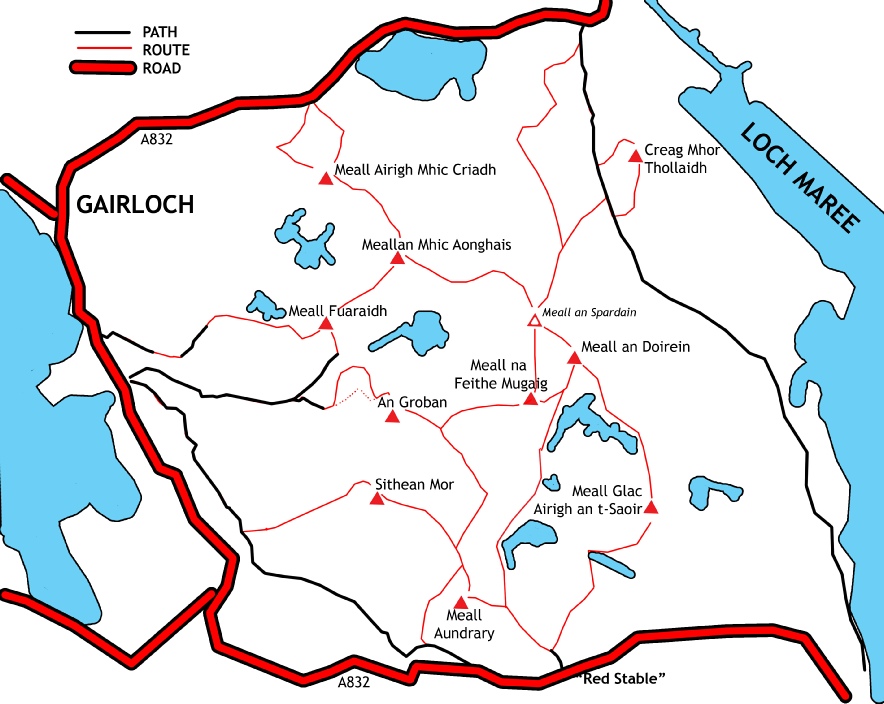
Hill |
Map ref |
Height |
Drop |
|
1 |
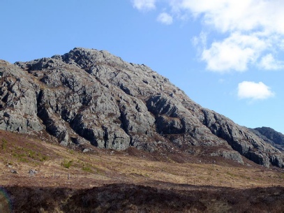
Meall an Doirein |
858 754 |
420m |
100 |
|
1a |
Meall an Spardain |
854 758 |
415m |
43 |
|
2 |
Sithean Mor |
836 740 |
384m |
150 |
|
3 |
An Groban |
838 749 |
383m |
88 |
|
4 |
Meall Glac Airigh an t- |
864 739 |
373m |
70 |
|
5 |
Meall Fuaraidh |
832 758 |
369m |
100 |
|
6 |
Meall na Feithe Mugaig * |
852 749 |
369m |
54 |
|
7 |
Meallan Mhic Aonghais |
839 765 |
367m |
100 |
|
8 |
Meall Airigh Mhic Criadh |
831 733 |
349m |
85 |
|
9 |
Creag Mhor Thollaidh |
864 776 |
343m |
100 |
|
10 |
Meall Aundrary |
846 728 |
327m |
110 |